Shipping quote request
We’ll calculate the shipping price as soon as getting your request.
Shipping quote request
We’ll calculate the shipping price as soon as getting your request.
You May Also Like
More from this Dealer
Satirical Map of Ireland

French Artist, Memento Mori, 1800s, Lithograph

Napoleon in Exile on St Helena

17th Century Dutch Sea Chart of the North Atlantic

Three-Sheet Map of the Russian Empire

Unusual Balloon View of Brighton, 1840s

17th Century Panelled Map of the Holy Land

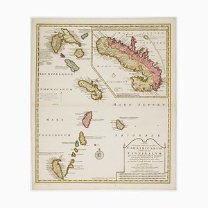
Early 18th Century Map of the Caribbean
Holborn Tube Station Roundel, 1950

Allegorical Map of England

Pictorial Map of Wales

Large and Detailed Chart of the Bahamas, 1700s

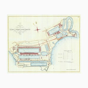
Detailed Plan of Londons Docklands
Map of the Persian Gulf

18th Century Map Celebrating the Knights of Malta

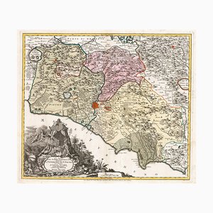
18th Century Map of the Papal States
Early Underground Platform Roundel of London, 1950

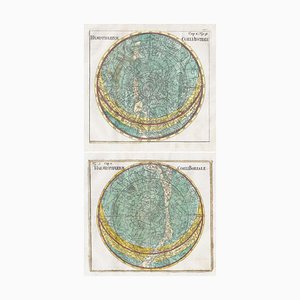
18th Century Celestial Charts of the Northern and Southern Skies, Set of 2
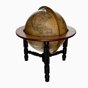
Mid-Victorian English Terrestrial Globe by James Wyld, London, 1870s
17th Century Celestial Chart Showing the Ptolemaic Planetary Orbits

More Products


Get in Touch
Make An Offer
We noticed you are new to Pamono!
Please accept the Terms & Conditions and Privacy Policy
Get in Touch
Make An Offer
Almost There!
To follow your conversation on the platform, please complete the registration. To proceed with your offer on the platform, please complete the registration.Successful
Thanks for your inquiry, someone from our team will be in touch shortly
If you are a Design Professional, please apply here to get the benefits of the Pamono Trade Program