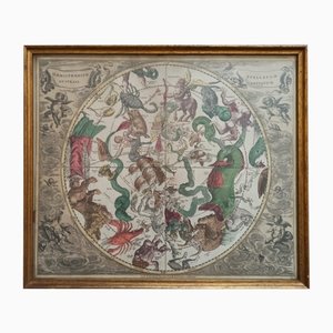
Celestial Chart, 1702
Sold Out
You are now following Charts. You can manage alerts in your account settings.
You have unfollowed Charts.
Celestial Chart, 1702
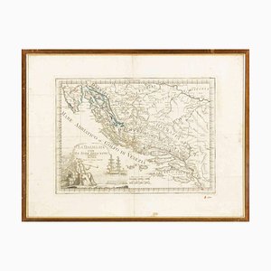
Giovanni Mignani, Map of Dalmatia & Adjacent Islands, Etching, 1792, Framed
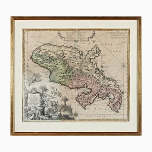
Martinique, Original Early Map: Representation la plus nouvelle et exacte De L'Ile Martinique, la premiere des Iles Del' Amerique Antilles...,1741, Original Hand Colored Copperplate Engraving
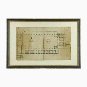
Original Ancient Quirinal Palace Planimetry, 17th-Century, Framed
Trending