Caricature Map of Ireland

You are now following Charts. You can manage alerts in your account settings.
You have unfollowed Charts.
Caricature Map of Ireland

Spanish Sea Chart of Madagascar and Mozambique

Panorama of Stockholm

Panorama of Vienna Under Siege by the Ottomans

Unusual Balloon View of Brighton, 1840s

Caricature Map of Italy

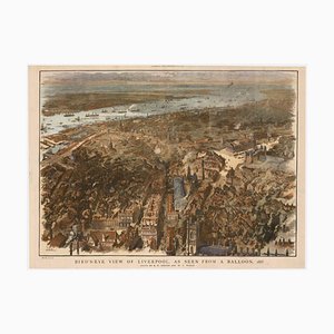
Balloon-View of Victorian Liverpool in Full Colour
Venetian Edition of Danvilles Wall Map of Africa

17th Century Plan of Valletta

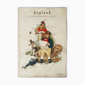
Caricature Map of England and Wales
The Route of the Spanish Armada Around the British Isles

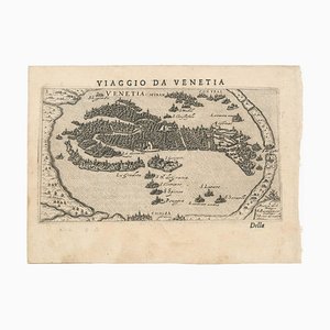
First Issue of Rosaccios Map of Venice
Fantasy Map of Asia as Pegasus

Napoleon in Exile on St Helena

First State of the Tirion-Albrizzi Map of Japan

16th Century Italian Map of Cambridge

Chart of the Harbour of Havana

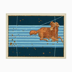
A 17th Century Engraving of the Zodiac Sign Aries
17th Century Map of Worcestershire, 1676

Map of New Zealand by Cook

Map of the Netherlands with a Fine Maritime Cartouche by Enzo Mari

A 17th Century Engraving of the Zodiac Sign Leo

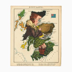
Satirical Map of Scotland
16th Century Miniature Map of Cyprus

A Birds-Eye View-Map of Malta

17th Century Map of Luxembourg

Map of the British Isles with Decorative Borders

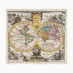
18th Century Double-Hemisphere World Map
Large and Detailed Chart of the Bahamas, 1700s

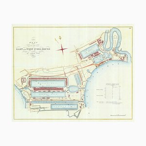
Detailed Plan of Londons Docklands
Pictorial Map of Russia

Covent Garden and Soho from a Large-Scale Survey of London

Pimlico and Belgravia from an Important Large-Scale Survey of London

Plan to Redevelop the Corner of Park Lane and Piccadilly

Map of North America During the Mississippi Bubble

A 17th Century Engraving of the Zodiac Sign Sagittarius

Caricature Map of Wales

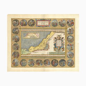
The Peregrinations of Abraham, 1603
Orteliuss Landmark Map of China

Satirical Map of Ireland

Pictorial Map of Wales

Planned Redevelopment of Charing Cross
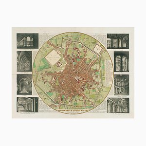
Map of Milan with Vignettes of Interiors
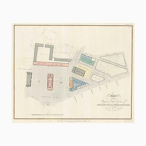
Nashs Plan to Redevelop Charing Cross
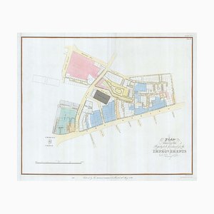
17th Century Map of China

Wall Map of Scotland

Chart of the Apparent Motions of Mars, Jupiter & Saturn

17th Century Celestial Chart Showing the Ptolemaic Planetary Orbits

Victorian English Lithographic Map of Westmoreland
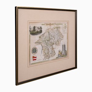
Antique Lithography Map, Shropshire, English, Framed, Cartography, Victorian
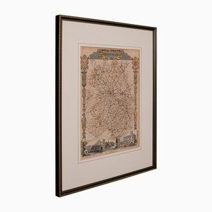
Antique English Framed Nottinghamshire Map
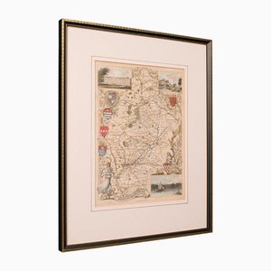
Antique English Victorian County Map
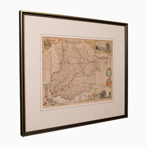
Antique English Framed Leicestershire Map
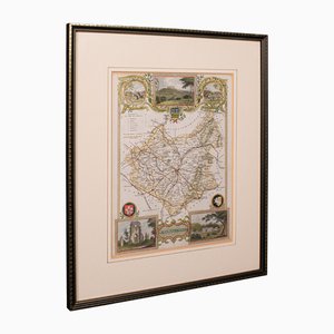
19th Century English Oxfordshire Country Map
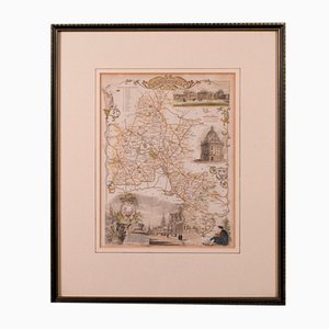
Antique English Rutlandshire County Map, 1860s
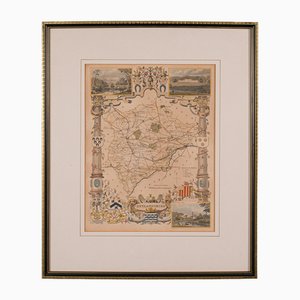
Antique English Framed County Map
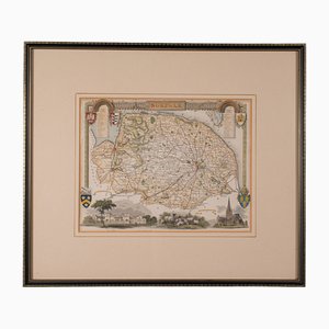
18th Century Hand Colored Engraved Map of Germany S.R.I Circulus Rhenanus
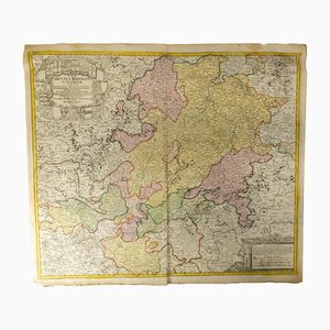
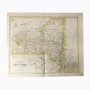
Antique Hand Colored Map of New York State from 1842
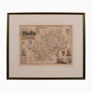
Antique Framed Lithographic Map of Hertfordshire, England
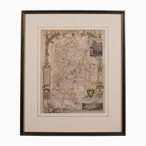
Antique Framed Lithographic Map of Bedfordshire, England
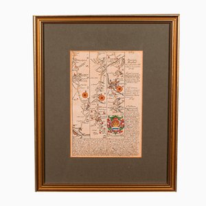
Antique English Coaching Road Map
Antique English Lithography Map
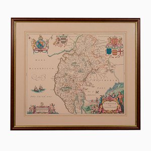
Johannes Janssonius, Antique Map of Gallia, Etching, 1650s
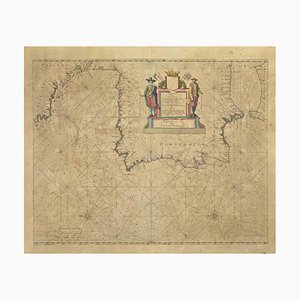
Johannes Janssonius, Oceanus, Etching, 1650s
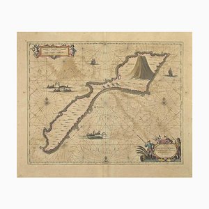
Johannes Janssonius, Attica, Etching, 1650s
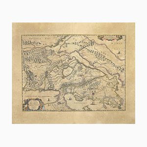
Johannes Janssonius, Antique Map of Mare Pacificum, Etching, 1650s
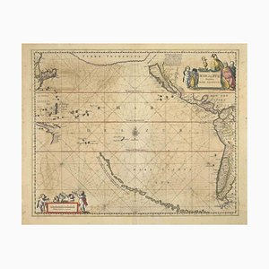
Johannes Janssonius, Antique Map of Mar di Athiopia, Etching, 1650s
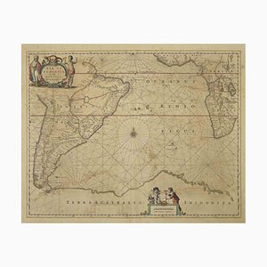
Johannes Janssonius, Nova Zemla, Etching, 1650s
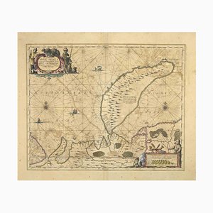
Johannes Janssonius, Oceani Borealis, Etching, 1660s
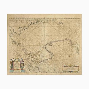
Johannes Janssonius, Polus Antarcticus, Etching, 1650s
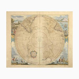
Johannes Janssonius, Barbarga, Etching, 1650s
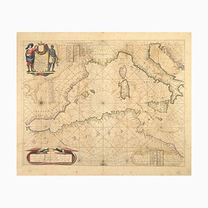
Johannes Janssonius, S.Juan de Puerto Rico, Etching, 1650s
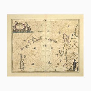
Johannes Janssonius, Mare Mediterra, Neum (Map of Malta), Etching, 1650s
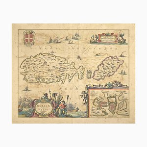
Johannes Janssonius, Epirus Albania, Etching, 1650s
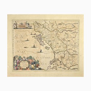
Johannes Janssonius, Mare Atlanticum, Etching, 1650s
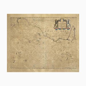
Johannes Janssonius, Amstelredam, Etching, 1650s
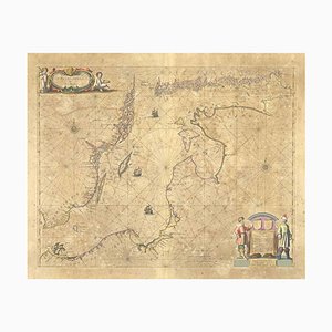
Johannes Janssonius, Amstelredam, Etching, 1650s

Johannes Janssonius, Archipelagus Septentrionalis, Etching, 1650s
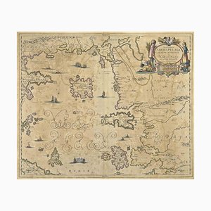
Johannes Janssonius, Achaiae Noua, Etching, 1650s
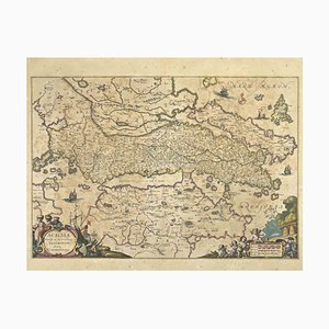
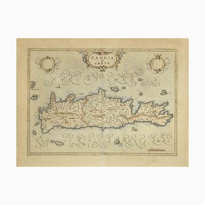
Map of Crete Etching by Johannes Blaeu, 1650s
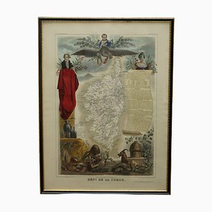
French Hand Watercolour Map of Dept des la Corse, 1856
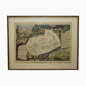
French Hand Watercolour Map of Dept des Hautes Pyrenees, 1856
Map of Italy Drawn & Engraved by R. Scott for Thomsons, Edinburgh, 1814
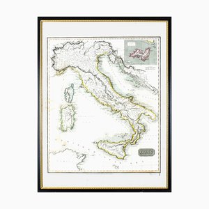
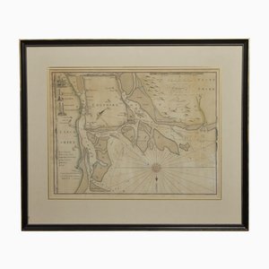
Chart of the Harbour of Liverpool
Northwest Coast and Isle of Man Map

Framed Victorian Suffolk County Lithographic Map

Antique County Map, Middlesex, English, Framed, Litho, Cartography, Victorian

Antique English County Map or Framed Lithograph
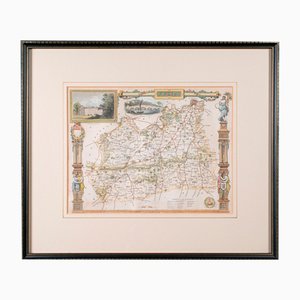
Antique Englishh East Yorkshire Map

Trending