18th Century Miniature Map of the British Isles by M. Seutter, 1744

You are now following Charts. You can manage alerts in your account settings.
You have unfollowed Charts.
18th Century Miniature Map of the British Isles by M. Seutter, 1744

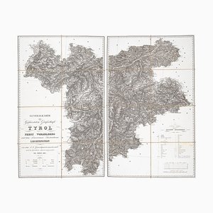
Detailed Map of Tyrol, Vorarlberg and Liechtenstein
Maps of the World & Continents, Set of 7

16th Century Dutch Map of Cyprus, 1598

Early 17th Century Map of Wales, 1619

Detailed Town Plan of Madrid

Figure Map of America

18th Century Two-Sheet Map of Ancient Greece from Aeg

19th Century American Sea Chart of Hong Kong

16th Century Map of the Peregrinations of Abraham, 1603

Pictorial Map of the World Promoting Protestant Missionary Work

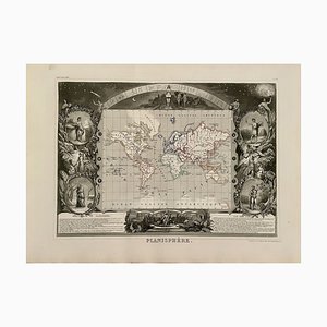
Planisphere World Map, 1849
Antique Geographical Maps of the French-German War, Set of 4

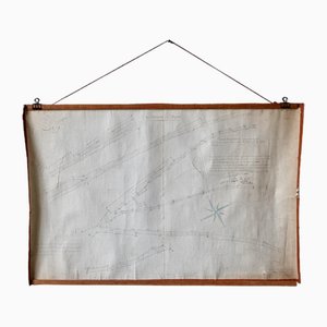
French N°2 Cadastral Plan, 1933
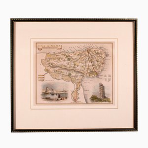
Antique English Isle of Thanet Lithography Map
Plan d'Etupes N°3 Chart, 1833
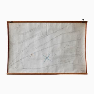
Antique English Chart of Devon
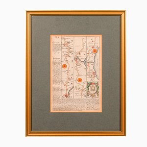
Johannes Janssonius, Thessalia Map, Etching, 1650s
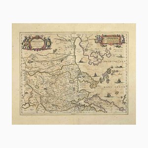
Johannes Janssonius, Maris Mediterranei, Etching, 1650s
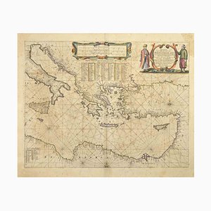
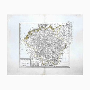
Map of Germany, Original Etching, 1820
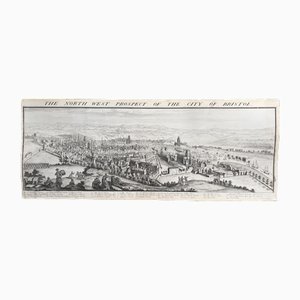
The North West Prospect of the City of Bristol by Samuel Buck, 1734
19th Century Butterflies and Birds Colored Framed Engravings, Set of 2

17th Century Prospect of Lisbon

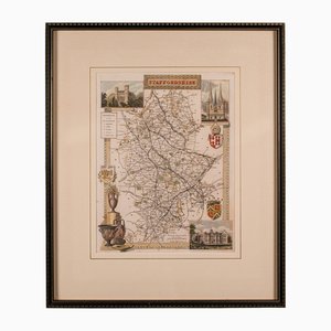
English County Map Staffordshire
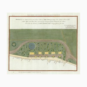
Early 19th Century Map for Houses in Hyde Park by J. Fordyce, 1809
Large-Scale Survey of London Map with Marylebone & St Pancras

Large-Scale Survey of London Map with Knightsbridge

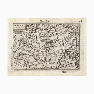
16th Century Miniature Map of Tartary by B. Langenes, 1599
18th Century Italian Map of the Cape of Good Hope by Albrizzi, 1740

Allegorical Map of England

The Great Seal of the Commonwealth, 1651

Map of Classical Arabia

Map of the Middle East from Lafreri
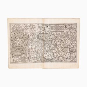
17th Century French Map of Arabia

A Birds-Eye View of Paris

17th Century Wind Rose

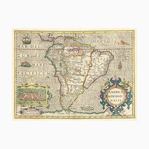
Early 17th Century Dutch Map of South America, 1633
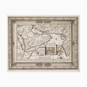
18th Century Map of Arabia with a Fine Border
Four-Sheet Wall Map of the Far East, Set of 4

Geological Map of England and Wales on Six Sheets, Set of 6

Issue of John Speeds Map of Hampshire

17th Century Panelled Map of the Holy Land

18th Century Maritime Explanatory Print

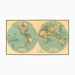
Late 19th Century Double-Hemisphere World Map in Cyrillic
Two-Sheet Map of Ireland

Antique English Berkshire Map

Antique English Country Map

English Collegiate Map, Cambridge, 1838

English Road Map Bristol to Weymouth

Small English Country Map, Northamptonshire, 1850s

Antique County Map by Robert Morden, 1700
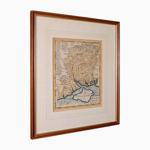
Antique English County Map by Richard Blome, 1673

Large Antique Lithography Map of Northamptonshire by John Speed

Antique Framed Lithographic Map of Northamptonshire, England, 1860
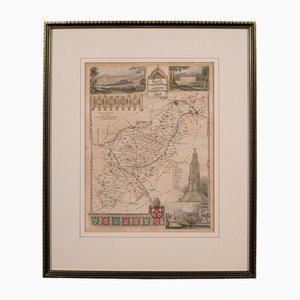
Antique English Lithography Map of Black Sea
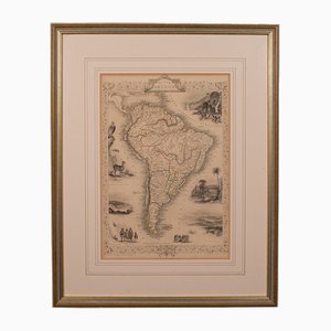
Antique English Lithography Map of South America
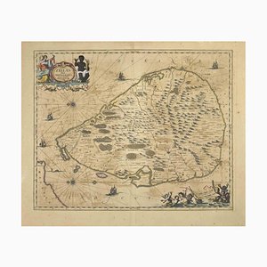
Johannes Janssonius, Map of Zeilan, Etching, 1650s
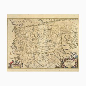
Johannes Janssonius, Map of Macedonia, Etching, 1650s
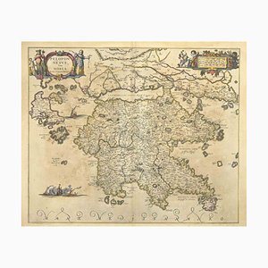
Johannes Janssonius, Peloponnesvs (Greece), Etching, 1650s
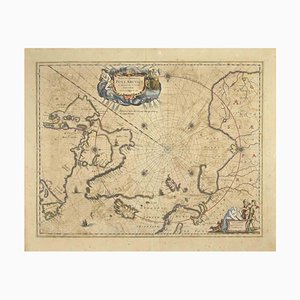
Johannes Janssonius, Map of the Poles, Etching, 1650s
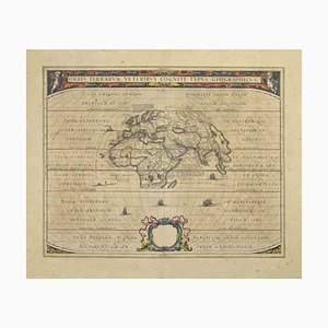
Johannes Janssonius, Orbis Terrarum, Etching, 1650s
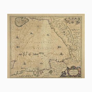
Johannes Janssonius, Gulf of Bengal, Etching, 1650s
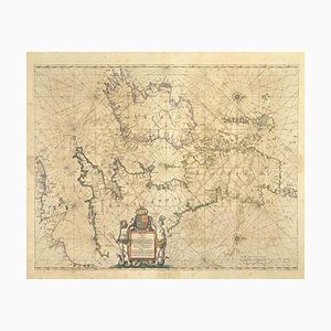
Johannes Janssonius, Freti Canalis, Etching, 1650s
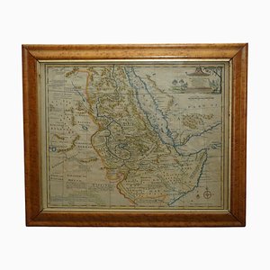
Watercolour Map of East Africa by Eman Bowen, London, 1744
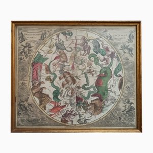
Celestial Chart, 1702
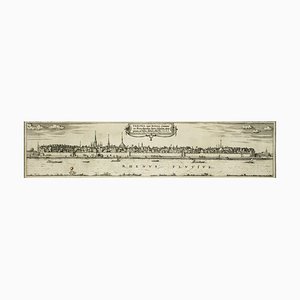
Bonn, Map from ''Civitates Orbis Terrarum'' - by F. Hogenberg - 1575 1575
Dutch County Map Buckinghamshire - Bedfordshire by Janssonius

Antique Hand Colored Map of Saintonge France

Lithography Map Monmouthshire Welsh Cartography

English Lithography Map Derbyshire

English Lithography Map Huntingdonshire
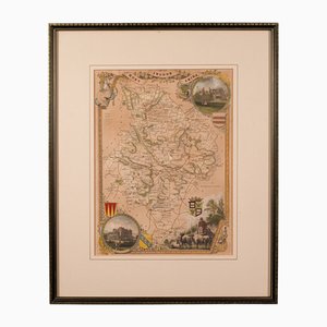
Lithography Map Hampshire, England, 1850s

Taiwan Map from Dutch East India Company, 1724

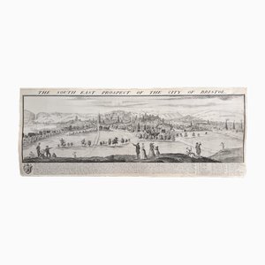
The South East Prospect of the City of Bristol by Samuel Buck, 1734
Antique English Framed Lithography County Map, 1860s

Antique English County Map Lithography

Dutch County Map of Cheshire by Janssonius, 1660s

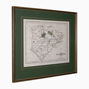
Georgian County Map Rutlandshire by John Cary
Antique English Georgian Framed Town Plan Map, 1780

Coaching Road Map Cranborne to Dorchester

Large English Wimbledon Map SW London

Antique English Framed Cambridgeshire County Map by Robert Morden, Late 17th Century

Antique County Map, Northamptonshire, English, Framed Cartography, Richard Blome

Antique Lithographic Map of Warwickshire

Large Antique Lithography Map of Kent, 1700

Large Chart of Jamaica, 1753

Victorian Lithographic Map with Environs of Southampton, England

Engraved Constellation Maps by W. Newton, Set of 5

Miniature Double-Hemisphere World Map by J. Expilly, 1765

17th Century Miniature Map of Russia by Hondius, 1610

17th Century Miniature Map of Asia by N. De Fer, 1685

16th Century Miniature Map of Ischia by B. Langenes, 1599

Prospect of Munich, Early 18th Century

Prospect of Bristol, 1600s

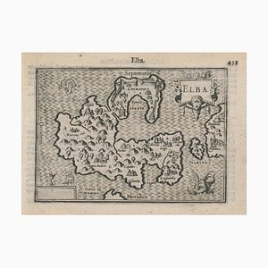
16th Century Miniature Map of Elba by B. Langenes, 1599
Mid-18th Century Map of Taiwan by Bellin, 1748

Trending