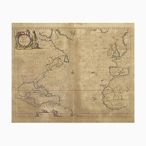
Map of Mar Del Nort by Johannes Janssonius, 1650s
You are now following Charts. You can manage alerts in your account settings.
You have unfollowed Charts.
Map of Mar Del Nort by Johannes Janssonius, 1650s

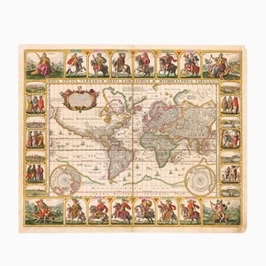
Antique Nova Totius Terrarum Orbis Geographica ac Hydrographica Tabula Claes Map by Janszoon Visscher, 1652
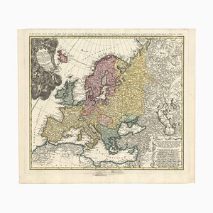
Mid-18th Century Map of Europe Showing the Spread of Religions
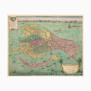
Early 18th Century Map of Venice
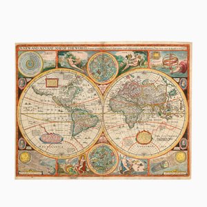
Antique Map of the World after J. Speed, 1651
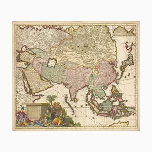
17th Century Map of Asia, 1690
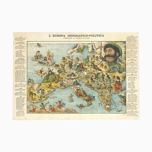
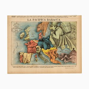
Italian Serio-Comic Map of Europe, 1871
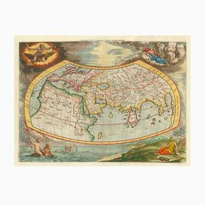
Antique Map of the Ptolemaic World by Gerard Mercator, 1700
Map of Ancient Rome in the style of Ligorio, 1657

The Famous Sea-Monsters Map of Iceland, 1595

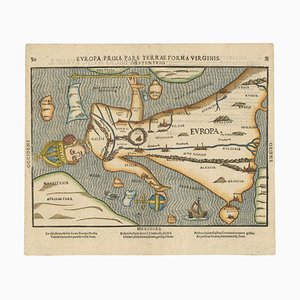
Map of Europe as a Queen from Buntings Itinerarium
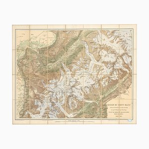
Map of the Mont Blanc Massif
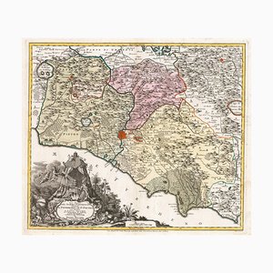
18th Century Map of the Papal States
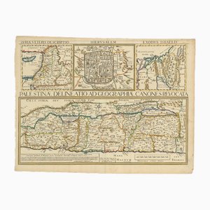
17th Century Map of the Holy Land Palestine, 1641
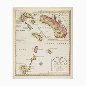
Early 18th Century Map of the Caribbean
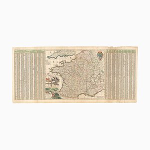
17th Century Map of France with Gazzetteer Side-Panels
Detailed Map of London During the Great Exhibition of 1851

16th Century Map of Barcelona by Valegio, 1598

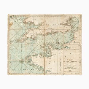
18th Century Sea Chart of the English Channel
18th Century Map of Italy in Bright Colour

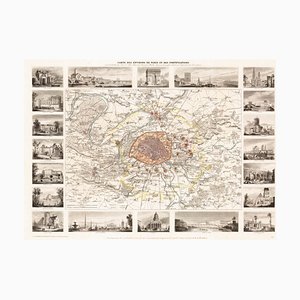
Paris and Surrounding Areas Map, Mid 19th Century
Mid-17th Century Map of the Far East

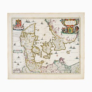
17th Century Map of Denmark
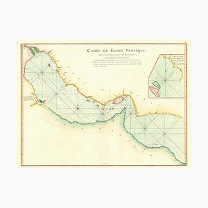
Map of the Persian Gulf

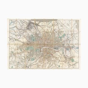
Map of the Environs of London in Fine Colour
16th Century Woodcut Map of the World According to Ptolemy

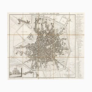
19th Century Map of Milan (Italy) - Antonio Tua, 1840
Prospect of Medieval London Bridge Covered with Houses

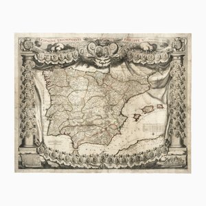
Antique Map of Spain Triumphant Under the Reign of Philip V by Nicolas De Fer, 1704
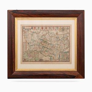
17th Century Map of Kent with Her Cities & Earles Described by John Speed, 1670s
Mid-19th Century Plan of Constantinople by Sduk, 1840s

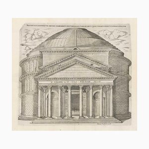
Rome's Pantheon, 1600s, Engraving
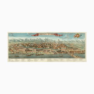
Prospect of Turin Map
18th Century Town Map of Peking

18th Century Map of Scotland

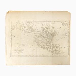
18th Century Map of North America, United States, and Asia by Bowen Thomas and Charles Cooke
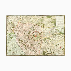
The Environs of Paris Map, Early 19th Century
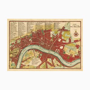
Early 18th Century Map of London by N. De Fer, 1705
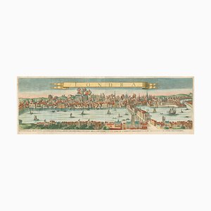
A Prospect of the Great Fire of London, 1600s
17th Century Prospect of Venice

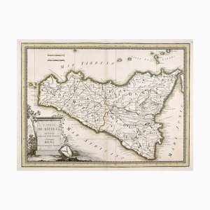
18th Century Map of Sicily
18th Century Map of Italy in Fine Colour

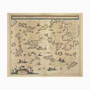
Johannes Janssonius, Antique Map of Archipela Meridionalis, Etching, 1650s
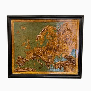
Relief Map of Europe by F. Dufour
Large-Scale Survey of London Map with St James's

Map of the City and University of Oxford by T. Moule, 1848

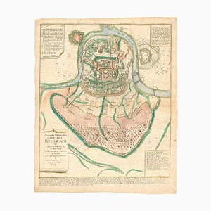
Plan of the Ottoman Siege of Belgrade, 1739
Tourists Plan of London for the Great Exhibition of 1851

Pirate Edition of Morden & Leas Map of London

Classic Carte-À-Figure Map of the Netherlands & Belgium

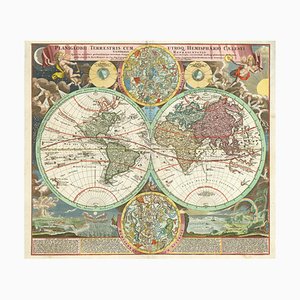
18th Century Double-Hemisphere World Map with Celestial Insets
Detailed Map of Knightsbridge, Chelsea and Kensington

Classic 17th Century Carte-À-Figure Map of Spain

17th Century Dutch Sea Chart of the North Atlantic

18th Century Map of Tuscany and the Papal States

Antique Naval Map of Australia, 1888

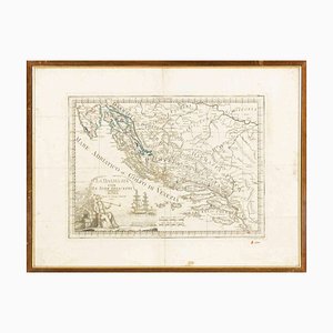
Giovanni Mignani, Map of Dalmatia & Adjacent Islands, Etching, 1792, Framed
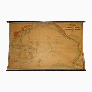
Large Wall Map by Heinrich Kiepert for Lithographische Anstalt Leopold Kraatz, 1886
Map of Duchy of Brittany by Joannes Janssonius, 1632

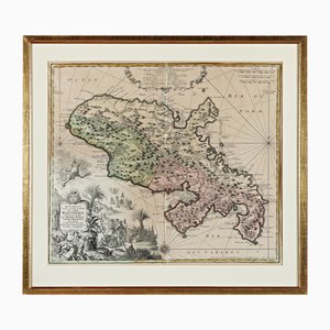
Martinique, Original Early Map: Representation la plus nouvelle et exacte De L'Ile Martinique, la premiere des Iles Del' Amerique Antilles...,1741, Original Hand Colored Copperplate Engraving
Early 18th Century Map of the British Isles by N. De Fer, 1705

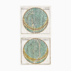
18th Century Celestial Charts of the Northern and Southern Skies, Set of 2
Three-Sheet Map of the Russian Empire

Map of Italy with Plans and Views of Cities

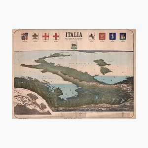
Upside-Down Birds-Eye View of Italy from the Alps
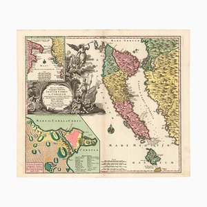
18th Century Map of Corfu in Original Colour
Mid-19th Century Town Plan of New York City

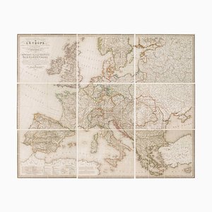
Wall Map of Europe According to the Congress of Vienna
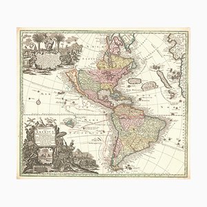
Map of The Americas with California as an Island, 1700s
Early 18th Century Warship Chart

18th Century Double-Hemisphere World Map

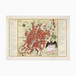
Town Plan of Moscow in the 18th Century
Old Map of Etupes, 1833
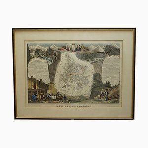
French Hand Watercolour Map of Dept des Hautes Pyrenees, 1856
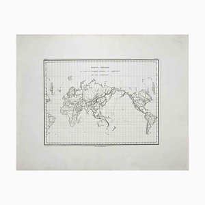
Map of the World, Original Etching, 1820
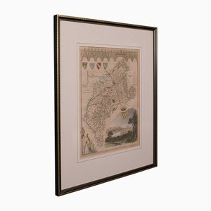
Antique English Lithography Map of Cambridgeshire

English Environs of Bath & Bristol Map

18th Century Map of the County of York by Emanuel Bowen, 1740s
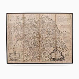
Antique English County Map, 1790

Antique Lithography Map

Victorian English Lithographic Map of Cumberland
Italian Edition of Hadols Serio-Comic Map of Europe
18th Century Map of the Persian Gulf
Ptolemaic Map of Italy

18th Century Map Celebrating the Knights of Malta

The City and Whitechapel from a Large-Scale Survey of London

Decorative Marine Print of Early 18th Century Warships
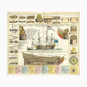
18th Century Town Plan of the Hague

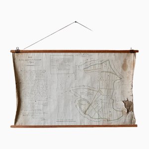
French Plan of 1788, 1825
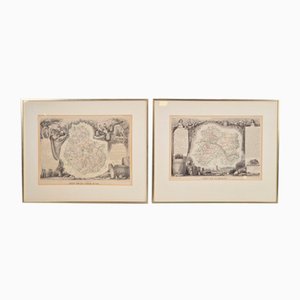
Antique Levasseur La Marne & Cote d'Or Wine Maps, 1852, Set of 2
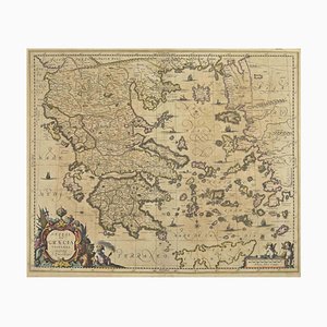
Johannes Janssonius, Antique Map of Greece, Etching, 1650s
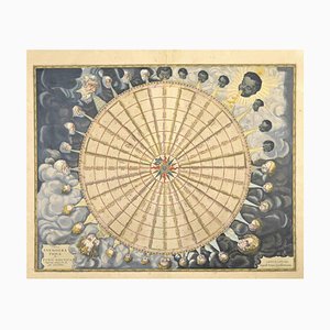
Johannes Janssonius, Anemogra Phica, Etching, 1650s
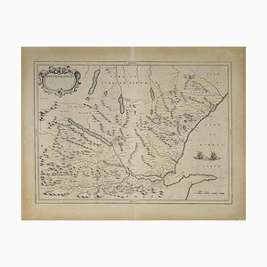
Map of Scotland Etching by Johannes Blaeu, 1650s
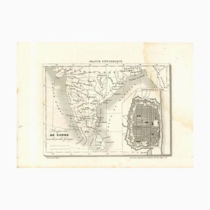
Original Lithographic Map of India, 19th Century
Cartographic Map of the Russian Empire by Frederick De Wit, 17th Century

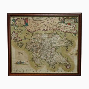
Peloponnesus Sive Morea I Laurenbergio Greece Watercolour Map by Jan Jansson, 1660
Trending